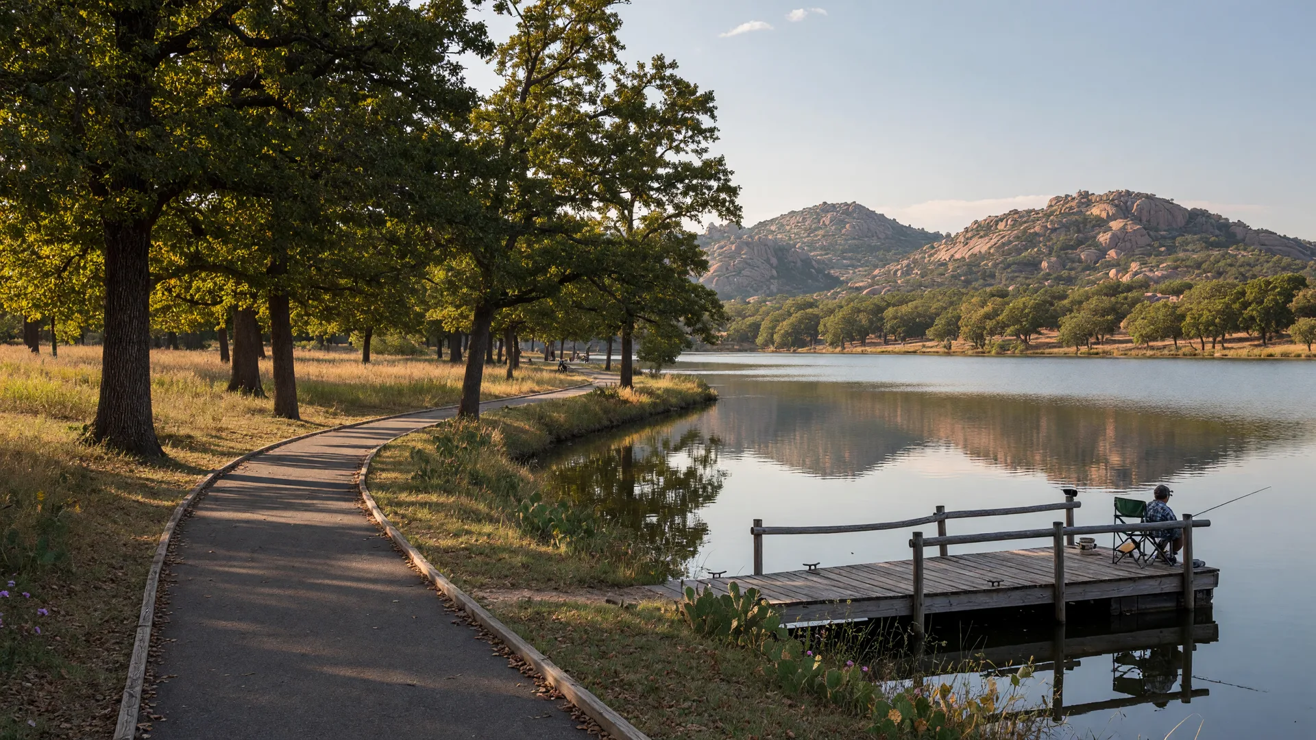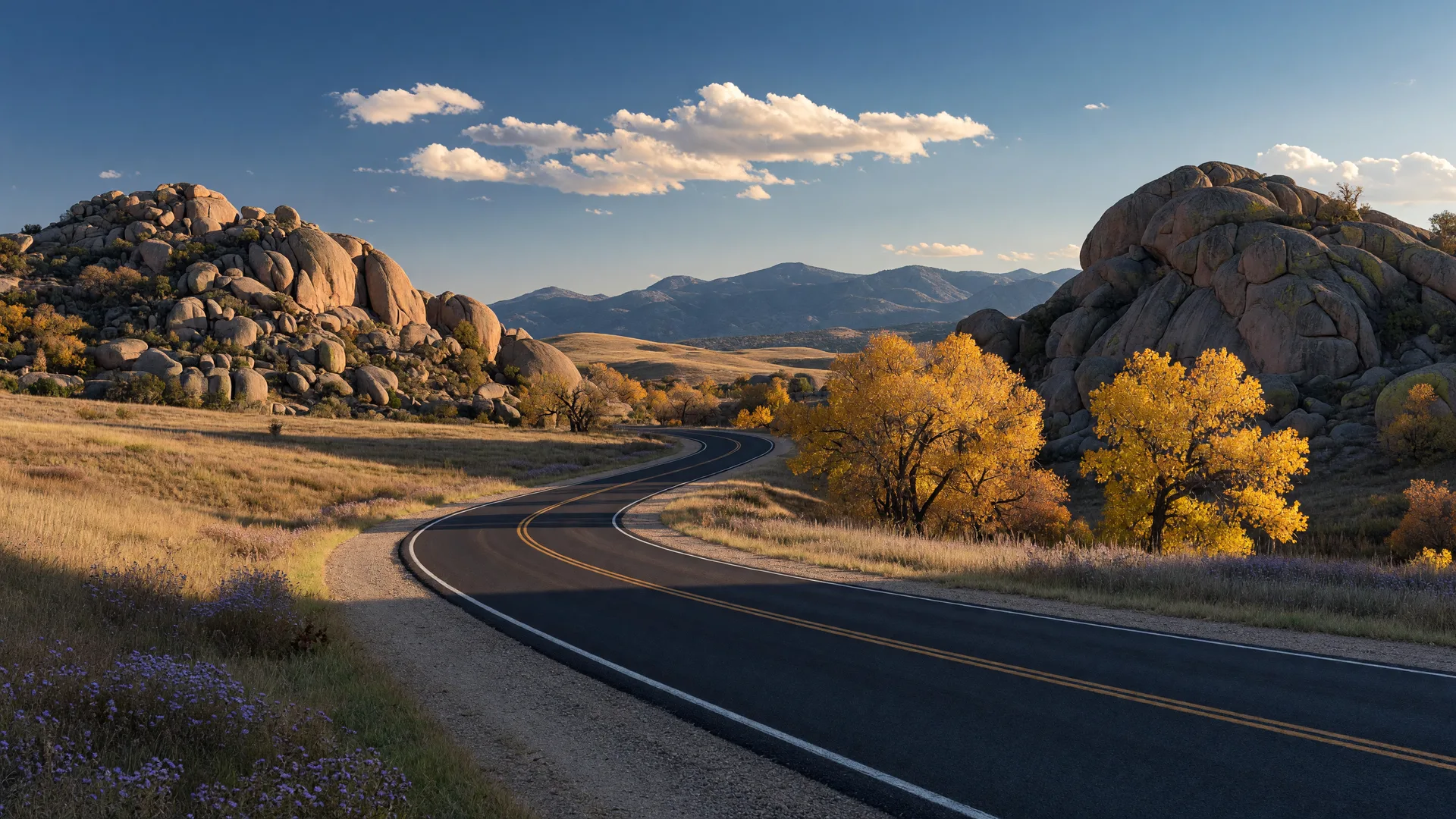
From the Wichita Mountains Wildlife Refuge loop to Mount Scott and Medicine Park, here are the best scenic drives near Lawton Oklahoma in 2026. Some of the best views in Southwest Oklahoma don't require a hike. Paved and gravel roads put you inside the Wichita Mountains Wildlife Refuge, past free-roaming bison and granite peaks, and into Medicine Park's cobblestone streets in under half an hour from downtown Lawton. Here are the routes locals drive when they want the mountains without leaving the car.
What Is the Wichita Mountains Wildlife Refuge Loop?
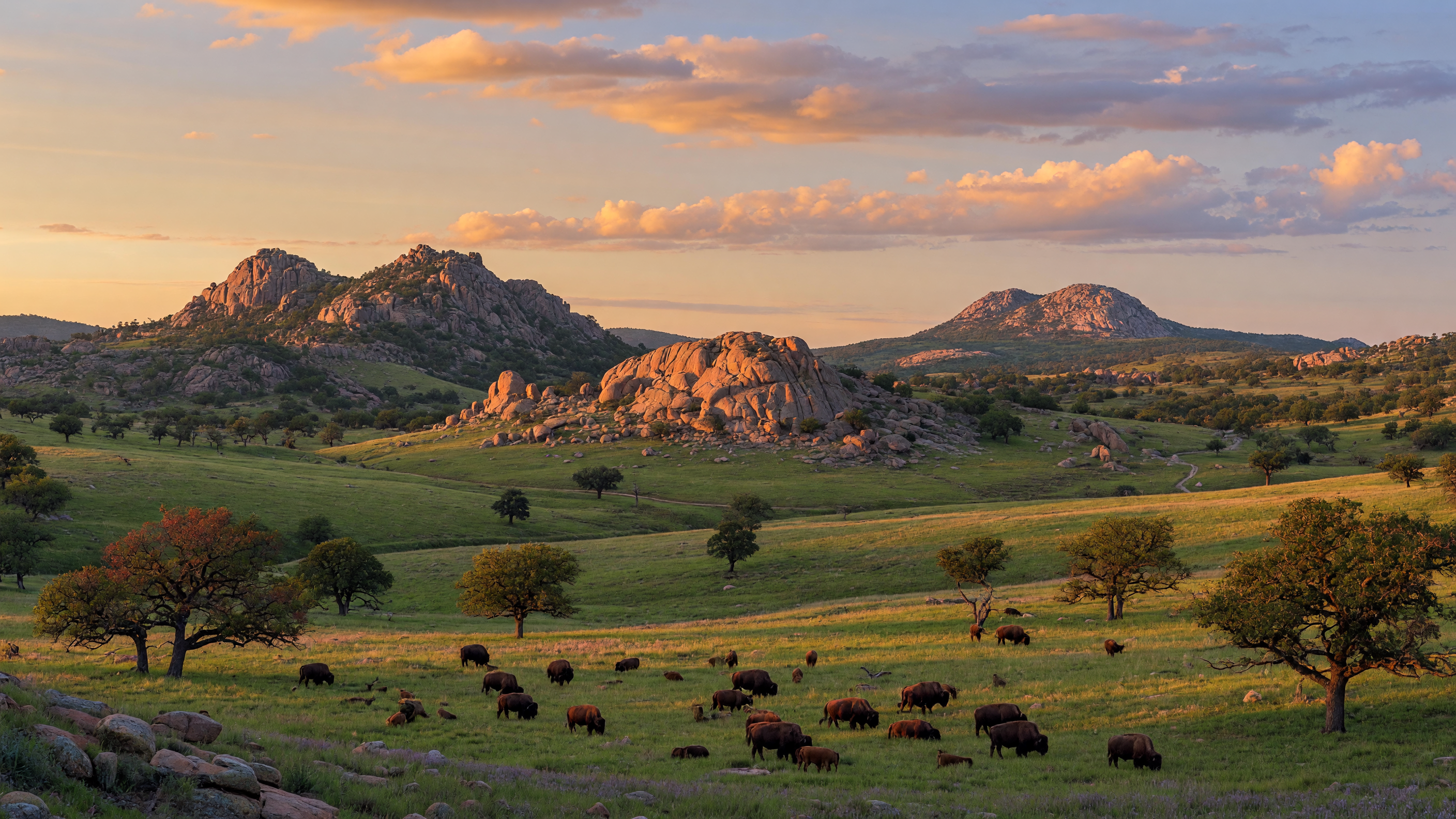
The refuge is the centerpiece of every scenic drive near Lawton, and it sits only about 15 to 20 minutes northwest of downtown. State Highway 49 plus interior roads like Post Oak Road and the Cache-to-Mount Scott route wind through 59,020 acres of granite peaks, prairie, and lakes. Bison and longhorn cattle roam freely and routinely cross the roads, so drive slowly and give them plenty of room. Elk are most visible in the fall, especially around Quanah Parker Lake and the interior meadows. For trailheads, picnic areas, and visitor information, start with our complete Wichita Mountains Wildlife Refuge guide.
What Specific Scenic Routes Should I Drive?
Beyond the main loop, several named routes are worth their own afternoon. Post Oak Road branches off the main park road and winds south into the Charon's Garden area, the refuge's rugged granite heart; the pavement ends at the Post Oak Lake and Treasure Lake parking area near the Post Oak Falls trailhead. The Cache-to-Mount Scott road connects Cache on Highway 115 to the base of Mount Scott and the visitor center, crossing open prairie where bison herds are commonly seen. And Highway 115 north from Cache is the route to take for the Holy City of the Wichitas, a 1930s-era village of rustic stone buildings near Rush and Jed Johnson Lakes that is best known for its annual Easter passion play.
Two lake stops round out the drive. Lake Elmer Thomas Recreation Area sits right on the loop and offers camping, fishing, hiking, and even scuba diving on the reservoir. Quanah Parker Lake, a 96-acre reservoir named for the last chief of the Quahadi Comanche, offers quiet shoreline views and non-motorized boating just off the main road. Both make easy, scenic mid-drive breaks with picnic tables and restrooms.
Can I Drive to the Top of Mount Scott?
Mount Scott is the only peak in the refuge you can drive to the top of. The paved road climbs about 2.5 miles from the base to the 2,464-foot summit, where a parking area and overlook deliver a 360-degree view of the refuge, Lake Lawtonka, and the prairie stretching toward Texas. It is a short, easy drive with a few switchbacks and one of the most popular sunset spots in the area. On clear days, the view alone is worth the trip.
How Do I Drive Scenic Highway 49 to Medicine Park?
State Highway 49 connects Lawton to Medicine Park and the refuge, and the stretch between them is a scenic drive in its own right. From downtown Lawton, Medicine Park is about 15 minutes away. The road rolls past the refuge's southern boundary with the mountains on your left and open ranchland on your right, then drops you into Oklahoma's original resort town, with its red granite cobblestone buildings, Bath Lake, and creekside dining. Our weekend guide to Medicine Park covers the shops, restaurants, and swimming spots worth stopping for.
What Is the Lake Lawtonka and Elmer Thomas Park Loop?
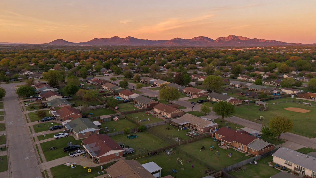
For a shorter loop, drive the shoreline of Lake Lawtonka. Elmer Thomas Park sits on the lake's eastern shore about five minutes from central Lawton, with walking trails, picnic shelters, and fishing access. Continue around the lake and you will catch views of the refuge's granite peaks across the water, especially pretty at sunrise and sunset. See our Elmer Thomas Park and Lake Lawtonka guide for the full trail and fishing details.
When Is the Best Time for a Scenic Drive Near Lawton?
Fall is the most popular season for scenic drives near Lawton. The refuge's sugar maples and oaks peak from late October into mid November, and the drives to Hollis Canyon and the interior lakes show the best color. Our fall colors guide has the timing and the best spots. Spring is the second peak season, when wildflowers blanket the prairie and bison calves appear along the roadsides.
How Do I Plan a Great Scenic Drive?
- Fuel up first. There are no gas stations inside the refuge, so fill up in Lawton or Cache before you head out.
- Download your map. Cell service is spotty in parts of the refuge, so save an offline map ahead of time.
- Stay in your vehicle near wildlife. Do not feed or approach bison, elk, or longhorn cattle, and never block the road for photos.
- Stop at the visitor center. The refuge's main entrance center has maps, restrooms, and exhibits, and it is a good first stop.
- Check gate hours. Refuge access hours vary by season, so confirm them before an early morning or late evening trip.
- Bring water and snacks. Picnic areas are scattered through the refuge, and a cooler makes the loop a half-day outing.
Drive Times at a Glance
Drive times vary with traffic and how often you stop for wildlife, but here are the approximate times locals use when planning a trip:
| Route | Approx. Distance | Drive Time |
|---|---|---|
| Lawton to the refuge gate via Highway 49 | 10-12 miles | 15-20 minutes |
| Lawton to Medicine Park via Highway 49 | about 11 miles | 15-20 minutes |
| I-44 (Elgin area) to the refuge gate, Highway 49 west | about 7 miles | about 10 minutes |
| I-44 (Elgin area) to the refuge visitor center | about 14 miles | about 20 minutes |
| Cache to the refuge gate, Highway 115 north | a few miles | 5-10 minutes |
| Fort Sill to the refuge via Highway 49 or 115 | about 20 miles | 25-35 minutes |
| Full refuge scenic loop (without stops) | 29-30 miles | 42-49 minutes |
| Mount Scott summit road (one-way climb) | about 3 miles | 10-15 minutes |
A Suggested Half-Day Loop
If you only have an afternoon, string the highlights together in one loop. Start at the refuge visitor center on Highway 49 for maps and restrooms, then follow the main park road toward Quanah Parker Lake and the interior meadows. Turn up Post Oak Road into the Charon's Garden area for the granite scenery, then head north to Mount Scott and time the summit for late afternoon, when the light rakes across Lake Lawtonka and the prairie. Come back down the mountain, and finish with dinner on the creek in Medicine Park, about 15 minutes from the refuge's south entrance. It is an easy, well-paced day with no long legs between stops.
What's the Bottom Line on Scenic Drives Near Lawton?
Scenic drives near Lawton turn an ordinary afternoon into a mountain outing without a long trip. Whether you are showing visitors around, scouting the area before a move, or just need a change of scenery, the refuge, Mount Scott, and Medicine Park deliver some of the best views in Oklahoma within a 30-minute drive of downtown. For more ideas on how to spend your time here, browse our things to do in Lawton guide.
Scenic Drives Near Lawton: Common Questions
What is the best scenic drive near Lawton Oklahoma?
The Wichita Mountains Wildlife Refuge loop is the top pick. The refuge is about 15 to 20 minutes northwest of downtown Lawton and offers paved and gravel roads through 59,020 acres of granite peaks, prairie, and lakes, with bison and elk visible along the way.
Can you drive to the top of Mount Scott?
Yes. Mount Scott is the only peak in the Wichita Mountains Wildlife Refuge with a paved road to the summit. The road climbs about 2.5 to 3 miles to the 2,464-foot summit, where a parking area and overlook provide 360-degree views.
How long is the drive from Lawton to Medicine Park?
Medicine Park is about 15 minutes from downtown Lawton via State Highway 49. The same highway continues into the Wichita Mountains Wildlife Refuge, whose south entrance sits just a few minutes past town.
When is the best time of year for scenic drives near Lawton?
Fall is the most popular season, with sugar maples and oaks peaking from late October into mid November. Spring is the second peak season, when wildflowers blanket the prairie and bison calves are common along the roadsides.
Are there gas stations inside the Wichita Mountains Wildlife Refuge?
No. There are no gas stations inside the refuge, so fill up in Lawton or Cache before you go. The refuge visitor center at the main entrance has maps, restrooms, and exhibits.
Can I drive to the Holy City of the Wichitas?
Yes, the Holy City of the Wichitas is reachable by car off a side road near Rush and Jed Johnson Lakes, most easily via Highway 115 north from Cache. This 1930s-era village of rustic stone buildings is best known for its annual Easter passion play and makes a unique stop on a scenic drive.
Is the Wichita Mountains Wildlife Refuge loop paved?
Most of the main scenic loop is paved, including the Mount Scott summit road and the roads to Quanah Parker Lake and the visitor center. A few interior routes, including Post Oak Road into the Charon's Garden area, run on gravel, so a passenger car is fine for the main drive but check conditions if you plan to explore the dirt sections.

Travis Wright
REALTOR® · eXp Realty · License #206164
Travis Wright is a Southwest Oklahoma native and the founder of Living In Lawton Oklahoma and Moving To Lawton Oklahoma. He specializes in relocation, military moves, new construction, and residential real estate across Lawton, Fort Sill, Elgin, Cache, Medicine Park, Fletcher, and Sterling.
Thinking about relocating to Southwest Oklahoma?
Find homes for sale, relocation guides, and videos about life in Lawton, Fort Sill, and the surrounding communities at MovingToLawtonOklahoma.com.